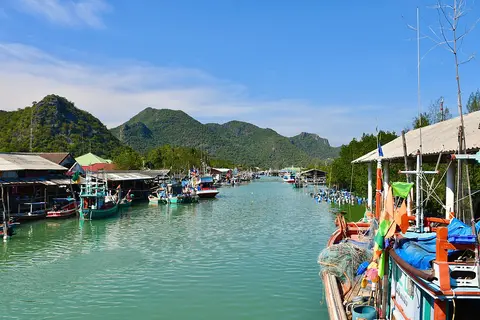
About Khao Sam Roi Yot National Park
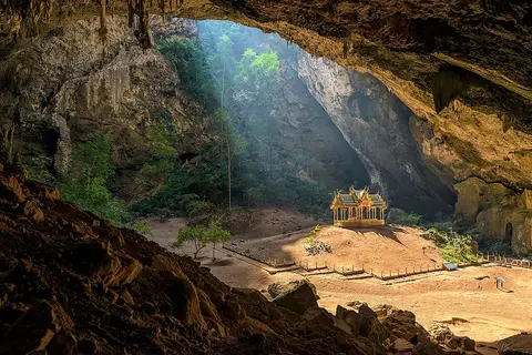
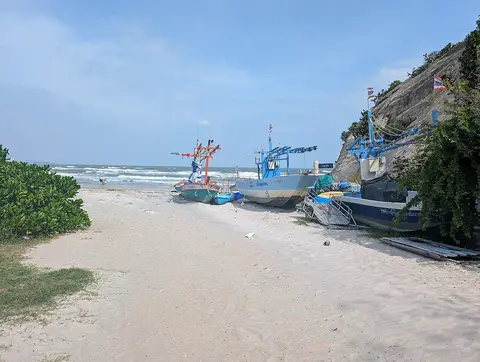
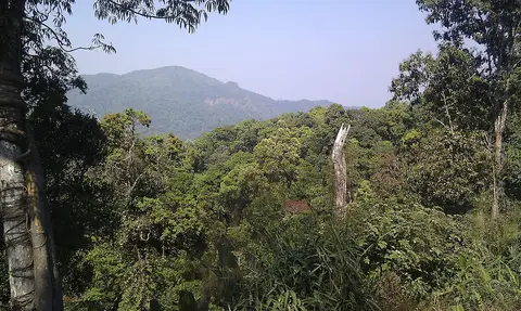
Set up in 1966, Khao Sam Roi Yot was Thailand's first coastal national park. It covers about 98 square kilometers in Kui Buri district, including 21 square kilometers of sea. Limestone hills rise straight from the shore of the Gulf of Thailand, topping out at Khao Krachom, 605 meters. Between them lie freshwater marshes, the largest in the country. Phraya Nakhon Cave, the park's best-known sight, is near Laem Sala Beach.
When to go
Best months for Bangkok, Central and the West: Dec to Jan. Month-by-month guide
- Jan Best
- Feb Good
- Mar Mixed
- Apr Avoid
- May Mixed
- Jun Mixed
- Jul Mixed
- Aug Mixed
- Sep Avoid
- Oct Mixed
- Nov Good
- Dec Best
Regional weather guide, not specific to Khao Sam Roi Yot National Park. Tap a month for details.