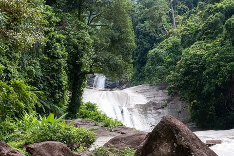
About Khao Luang National Park
Khao Luang is the tallest mountain in southern Thailand, at about 1,835 meters. The park named after it covers about 570 square kilometers of steep, mountainous country, with the headquarters 30 kilometers from Nakhon Si Thammarat town. It became a national park in 1974. More than 15 rivers and streams start here, running through moist evergreen and hill forest, and waterfalls include Phromlok.
When to go
Best months for Gulf coast (Samui, Pha Ngan, Tao, Songkhla): Feb to Apr. Month-by-month guide
- Jan Good
- Feb Best
- Mar Best
- Apr Best
- May Good
- Jun Good
- Jul Good
- Aug Good
- Sep Good
- Oct Mixed
- Nov Avoid
- Dec Mixed
Regional weather guide, not specific to Khao Luang National Park. Tap a month for details.