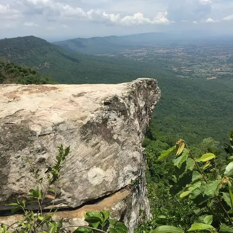

About Tat Ton National Park
Tat Ton is about 23 kilometers north of Chaiyaphum town, in the Laen Kha mountains. It became Thailand's 23rd national park in 1980. The main sight is Tat Ton waterfall, only 6 meters high but up to 50 meters wide in the rainy months, May to October. The park also has the Tat Fa, Pha Lang and Pha Song Chan waterfalls, and covers about 217 square kilometers of forest and highland.
When to go
Best months for Isan: Nov to Jan. Month-by-month guide
- Jan Best
- Feb Good
- Mar Mixed
- Apr Avoid
- May Mixed
- Jun Mixed
- Jul Mixed
- Aug Mixed
- Sep Mixed
- Oct Good
- Nov Best
- Dec Best
Regional weather guide, not specific to Tat Ton National Park. Tap a month for details.