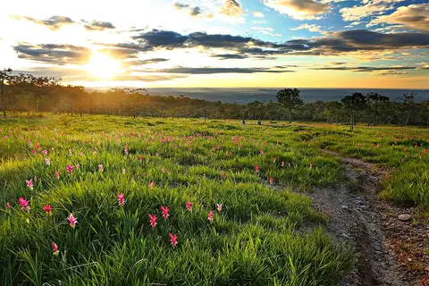
About Sai Thong National Park
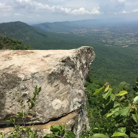
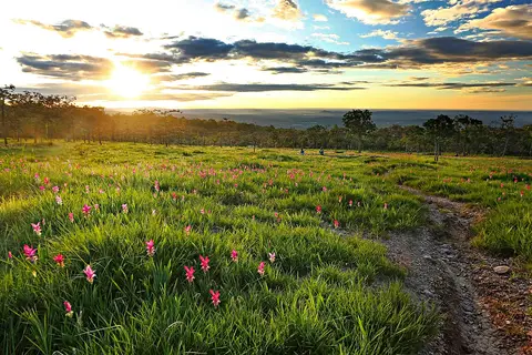
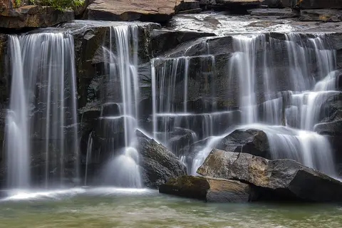
Sai Thong is about 70 kilometers west of Chaiyaphum town, in the Phang Hoei mountain range. The park is known for its waterfalls, viewpoints and a flower field that blooms in season. It covers about 319 square kilometers of forest, and its highest point is Khao Phang Hoei at 1,008 meters. Several tributaries of the Chi River start here.
When to go
Best months for Isan: Nov to Jan. Month-by-month guide
- Jan Best
- Feb Good
- Mar Mixed
- Apr Avoid
- May Mixed
- Jun Mixed
- Jul Mixed
- Aug Mixed
- Sep Mixed
- Oct Good
- Nov Best
- Dec Best
Regional weather guide, not specific to Sai Thong National Park. Tap a month for details.