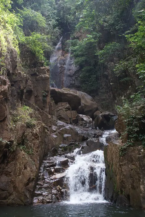
About Namtok Phlio National Park
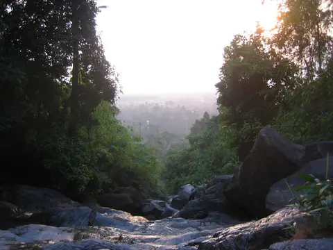
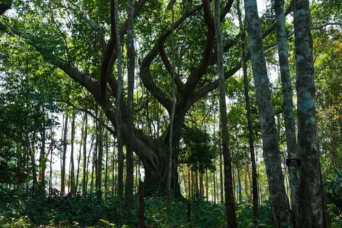
Namtok Phlio is 14 kilometers south of Chanthaburi town and covers about 135 square kilometers of forested mountains. Along with its waterfalls, the park has stupas and chedis from the reign of King Rama V, including the Along Khon chedi, built in 1876. The highest point is Map Wa Krok peak, at 925 meters.
When to go
Best months for The East coast and islands: Dec to Feb. Month-by-month guide
- Jan Best
- Feb Best
- Mar Good
- Apr Good
- May Mixed
- Jun Avoid
- Jul Avoid
- Aug Avoid
- Sep Avoid
- Oct Mixed
- Nov Good
- Dec Best
Regional weather guide, not specific to Namtok Phlio National Park. Tap a month for details.