About Kaeng Tana National Park
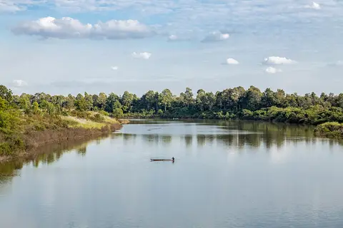
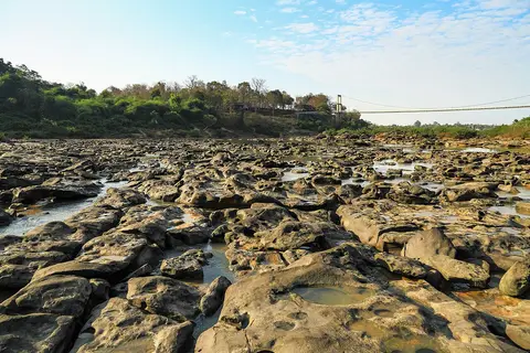
Kaeng Tana is in Khong Chiam district of Ubon Ratchathani, on the Mun River. It was set up in 1981 and covers about 80 square kilometers. The land is plateaus and rolling hills at an average of about 200 meters, and the highest peak, Ban Tad, reaches 543 meters. Most of it is deciduous forest, with some dry evergreen forest along the streams.
When to go
Best months for Isan: Nov to Jan. Month-by-month guide
- Jan Best
- Feb Good
- Mar Mixed
- Apr Avoid
- May Mixed
- Jun Mixed
- Jul Mixed
- Aug Mixed
- Sep Mixed
- Oct Good
- Nov Best
- Dec Best
Regional weather guide, not specific to Kaeng Tana National Park. Tap a month for details.