
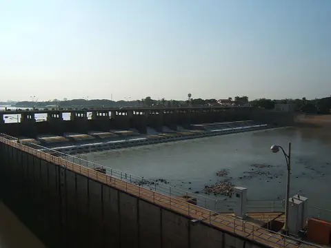
About Chao Phraya Dam
This barrage in Sapphaya district of Chai Nat controls the Chao Phraya River as it enters lower central Thailand. It was built between 1952 and 1957 and has sixteen gates, each 12.5 meters wide. The water it sends out serves about 11,600 square kilometers in seventeen provinces, as part of the Greater Chao Phraya Irrigation Project.
When to go
Best months for Bangkok, Central and the West: Dec to Jan. Month-by-month guide
- Jan Best
- Feb Good
- Mar Mixed
- Apr Avoid
- May Mixed
- Jun Mixed
- Jul Mixed
- Aug Mixed
- Sep Avoid
- Oct Mixed
- Nov Good
- Dec Best
Regional weather guide, not specific to Chao Phraya Dam. Tap a month for details.