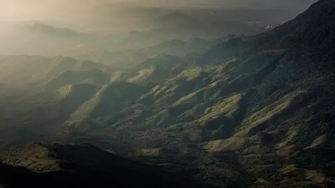
About Phu Hin Rong Kla National Park
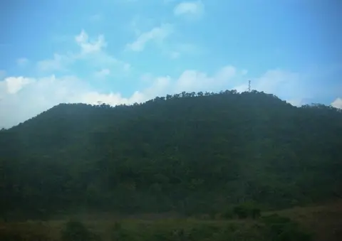
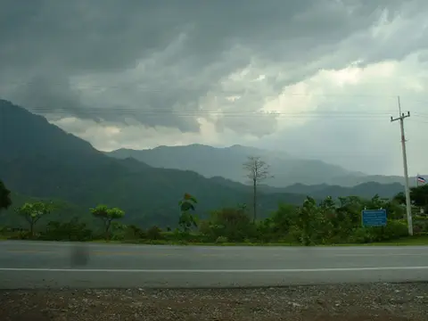
Phu Hin Rong Kla covers about 307 square kilometers of forested mountains, 80 kilometers east of Phitsanulok town. It was the base of operations for fighters in Thailand's communist insurgency, and became the country's 48th national park in 1984. Lan Hin Phum is a field of short, round stone pillars that's good at sunset. Lan Hin Taek is a wide rock area split by deep cracks. The highest peak, Phu Phaeng Ma, reaches about 1,820 meters.
When to go
Best months for The North: Nov to Jan. Month-by-month guide
- Jan Best
- Feb Good
- Mar Avoid
- Apr Avoid
- May Mixed
- Jun Mixed
- Jul Mixed
- Aug Mixed
- Sep Mixed
- Oct Good
- Nov Best
- Dec Best
Regional weather guide, not specific to Phu Hin Rong Kla National Park. Tap a month for details.