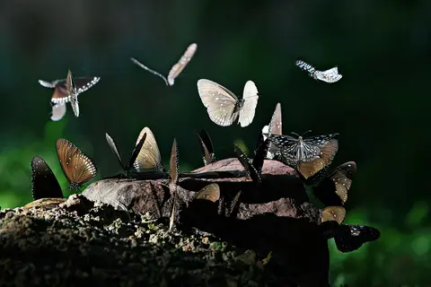
About Pang Sida National Park
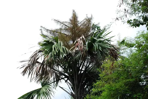
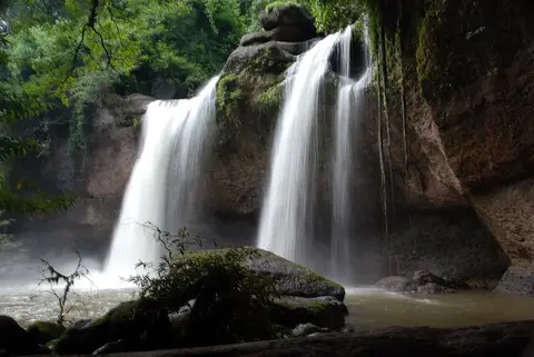
Pang Sida covers about 844 square kilometers of the Sankamphaeng Range, 28 kilometers north of Sa Kaeo city. It's part of the Dong Phayayen-Khao Yai Forest Complex World Heritage Site, along with Khao Yai and Thap Lan. Pang Sida waterfall is one of the highlights. A 2000 survey recorded 271 vertebrate species here, including 81 mammals and 143 birds.
When to go
Best months for The East coast and islands: Dec to Feb. Month-by-month guide
- Jan Best
- Feb Best
- Mar Good
- Apr Good
- May Mixed
- Jun Avoid
- Jul Avoid
- Aug Avoid
- Sep Avoid
- Oct Mixed
- Nov Good
- Dec Best
Regional weather guide, not specific to Pang Sida National Park. Tap a month for details.