About Mae Wong National Park
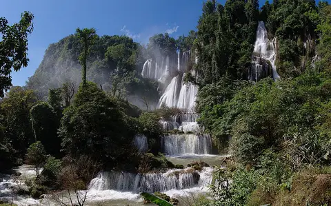
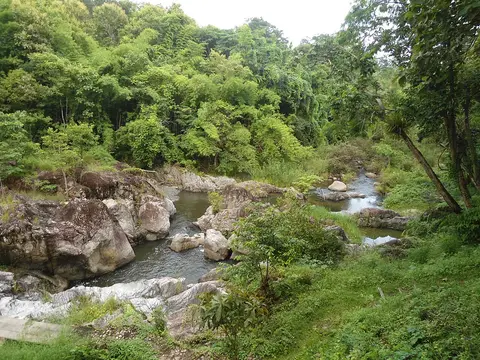
Mae Wong lies in the Dawna Range, across Kamphaeng Phet and Nakhon Sawan, and covers about 894 square kilometers. It became a national park in 1987. The land is rugged, especially in the north and west, and the highest peak, Khao Mo Ko Chu, reaches 1,964 meters. Notable spots include the Mae Krasa, Mae Rewa and Mae Ki waterfalls, Mokochu Peak and Chong Yen.
When to go
Best months for The North: Nov to Jan. Month-by-month guide
- Jan Best
- Feb Good
- Mar Avoid
- Apr Avoid
- May Mixed
- Jun Mixed
- Jul Mixed
- Aug Mixed
- Sep Mixed
- Oct Good
- Nov Best
- Dec Best
Regional weather guide, not specific to Mae Wong National Park. Tap a month for details.