
About Doi Pha Hom Pok National Park
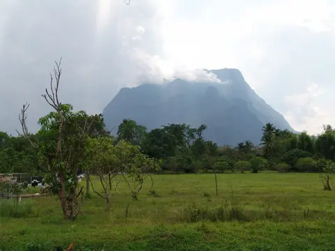
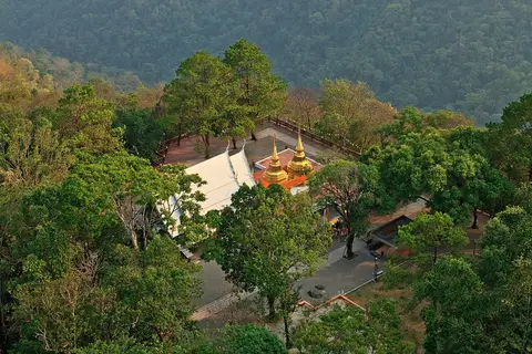
This is the northernmost national park in Thailand, covering about 524 square kilometers of the Daen Lao Range on the Myanmar border. It spreads across Fang, Mae Ai and Chai Prakan districts of Chiang Mai. Doi Pha Hom Pok, at 2,285 meters, is the second-highest peak in the country. Doi Lang, inside the park, is an excellent area for birdwatching, and there are hot mineral springs near the park headquarters.
When to go
Best months for The North: Nov to Jan. Month-by-month guide
- Jan Best
- Feb Good
- Mar Avoid
- Apr Avoid
- May Mixed
- Jun Mixed
- Jul Mixed
- Aug Mixed
- Sep Mixed
- Oct Good
- Nov Best
- Dec Best
Regional weather guide, not specific to Doi Pha Hom Pok National Park. Tap a month for details.